Our Team
Board of Directors
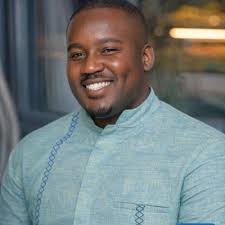
PMP Kiggudde Deogratius
Chairperson
His an accomplished Program Manager and Quantity Surveyor specializing in digital public infrastructure, humanitarian technology, and monitoring and evaluation. Based in Kigali, Rwanda, he is highly regarded for his work promoting open-source technology and digital capacity-building across Africa.
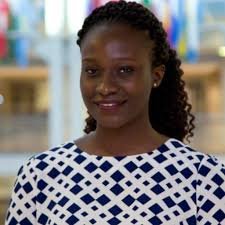
Ingrid Martha Kintu
Vice Chairperson
She is a prominent Geographic Information Systems (GIS) and Remote Sensing Analyst from Uganda. She is widely recognized for her research and humanitarian work applying geospatial technologies to solve local development, environmental, and refugee crisis challenges. Currently working at Riccardo as an Environmental Consultant.
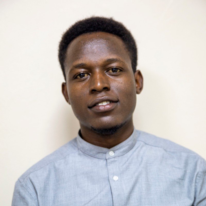
Hillary Musundi
Treasurer
Information Technology specialist, web developer, and data analyst heavily recognized for his work in Geographic Information Systems (GIS) and open-source mapping. Based primarily out of Mbale and Kampala, his professional contributions focus on utilizing technology and data science to improve urban planning, local governance, and sustainable development across Uganda
Stellamaris Nakachwa Wavamuno
Board Member
A distinguished Ugandan - American geospatial scientist, researcher, and international program director. She is widely recognized for her leadership in increasing women's representation in the geosciences and utilizing open mapping data for humanitarian development.
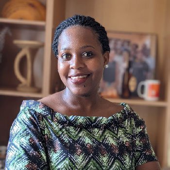
Atukunda Judith
Board Member
Results-oriented land governance professional passionate about advancing data-driven approaches to strengthen land rights and promote sustainable land management. Dedicated to promoting open and accessible land data, integrating spatial and Earth Observation tools, and supporting evidence-based policy decisions that empower communities. Committed to translating global land commitments into practical, locally led actions that enhance equity, accountability, and environmental sustainability.
Top Leadership
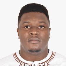
Allan Mbabani
Executive Director
Over 10 years operating in the humaintarian sector, a Water Resources Engineer, Geospatial Data Expert, and Tech community leader. He is best known for his leadership in open-source mapping and data analytics across Africa.
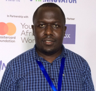
Ronald Tumusiime
Head of Operations and Finance
Seasoned tech-driven leader and certified data scientist with over 10 years of cross-sector experience in operations, finance, and strategic scaling across agriculture, nonprofit, and technology sectors. He brings strong expertise in financial resource mobilization, operational excellence, predictive analytics, and data-driven decision making. He specialize in leveraging AI, machine learning, and analytics to optimize operations, reduce costs, and drive sustainable growth.
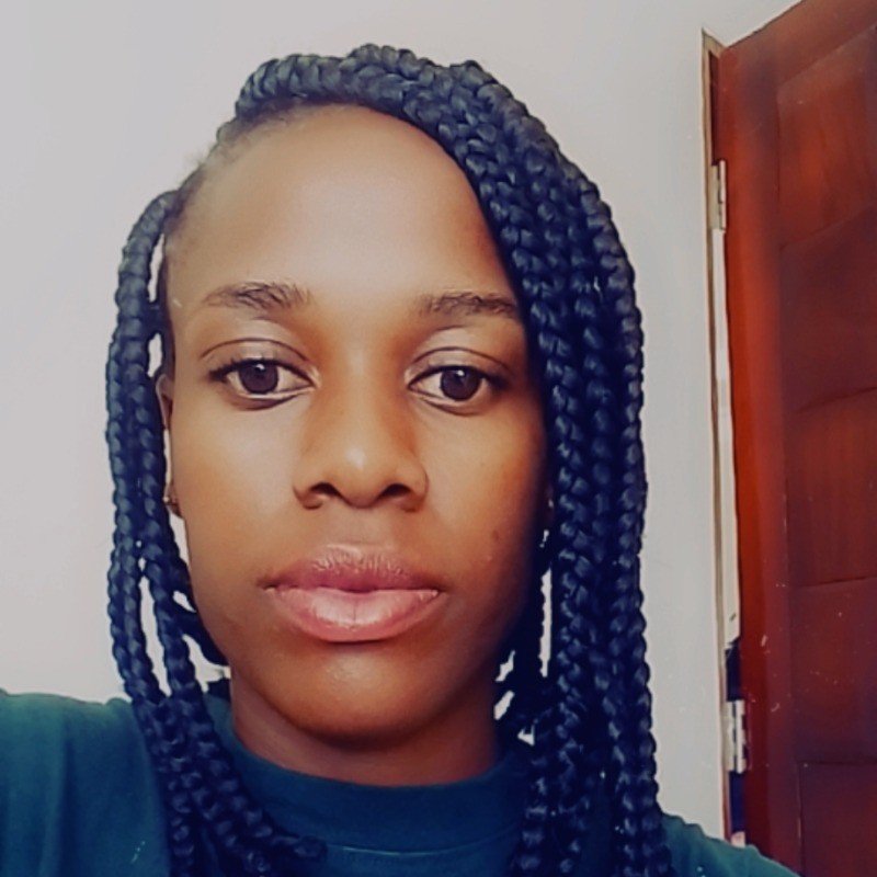
Lunkuse Maria
Adminstration Manager
She brings over 8 years of experience working in the NGO space as an adminstrator. Served with Tugende that uses asset finance, technology, and a customer-centric model to help informal sector entrepreneurs (MSMEs) dramatically increase their economic trajectory.
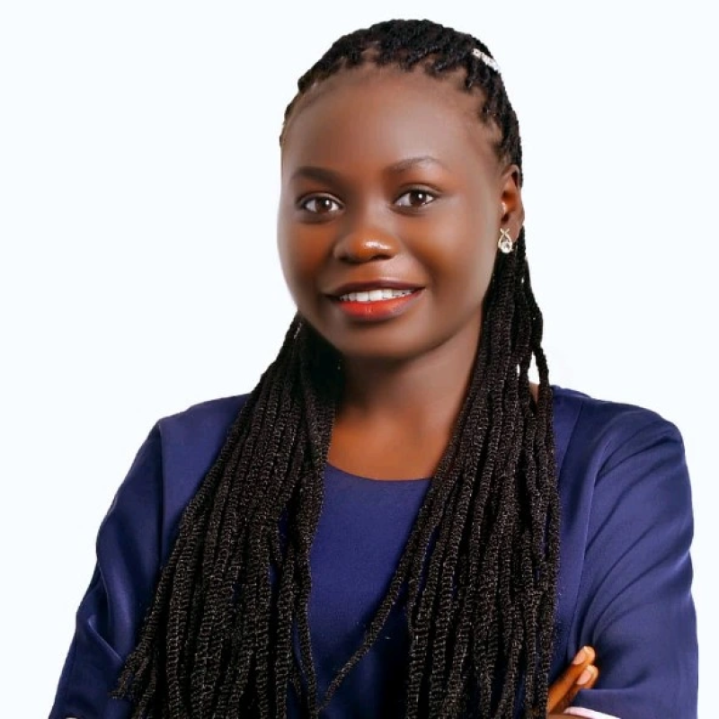
Sandra Waniwroth
Head of Innovations and Tech Development
Over 5 years helping NGOs, researchers and SMEs turn data into clear dashboards and maps for decision making, using Power BI, Tableau, Data wrapper, QGIS and Flourish. Leading the innovation programs that include Safe Sail a product to support safe business on the water bodies like Lakes.
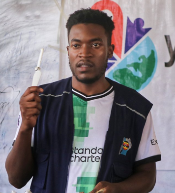
Arthur Mukunya
Head of Drone Technology
Multidisciplinary Drone Pilot, Geospatial Trainer, and Visual Media Specialist with strong expertise in drone operations, aerial mapping, disaster response, and immersive media production. Passionate about using drone technology and visual storytelling for humanitarian response, capacity building, and digital innovation across Uganda.